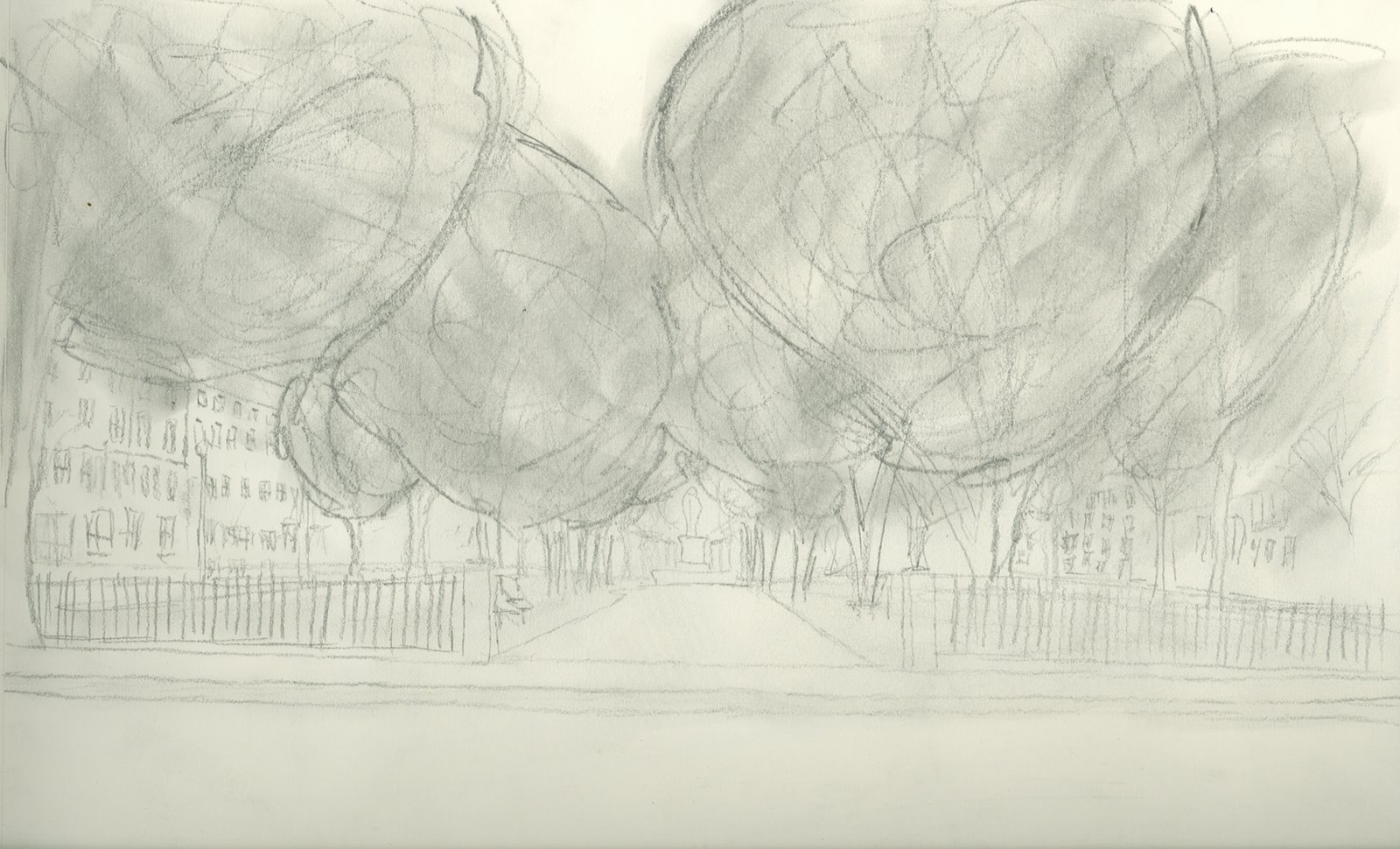
Comonwealth Avenue starts at the main entry to the Boston Public Garden and runs through the Back Bay neighborhood, Kenmore Square, and on into Brookline. The primary focus of this project was to analyze the strips of park that run from the Public Garden to Kenmore Square. The parks that line the center of Commonwealth Avenue total nine, however the primary area of study was the very first park that lies between Arlington Street and Berkeley Street.

The park, like the Gardens, has a very open and public feel. Upon my visit, there were multiple people enjoying their every day activities within the park. The fence at the eastern end of the park defines the entrance, and the trees that line the outside edges creates an open border, yet defines the park. The central sidewalk runs through all nine of the parks total giving pedestrians another option other than the typical sidewalks that line the other side of commonwealth avenue.

The Commonwealth Avenue system of parks was designed in the mid 1800’s in order to connect the Public Garden to Frederick Olmstead’s Back Bay Fens. This helps with the overall continuous feeling of the park system through out the city of Boston.
The buildings surrounding the park range from hotels, small businesses to private residences. These influence the park and its feeling greatly.


